


Geographic Location
Golden City, Gyeongju
Location & Geography
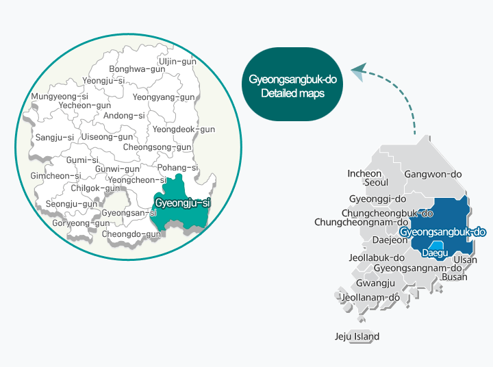
Location
- Far east: 129 degrees, 31 minutes, east longitude, Gampo-eup, Oryu-ri
- Far west: 128 degrees, 58 minutes, east longitude, Sannae-myeon, Sinwon-ri
- Far south: 35 degrees, 39 minutes, north latitude, Sannae-myeon, Daehyeon-ri
- Far north: 36 degrees, 04 minutes, north latitude, Gangdong-myeon, Dangu-ri
- Location of City Hall: 800 Dongcheon-dong, Gyeongju-si
| Category | Seoul | Busan | Daegu | Pohang |
|---|---|---|---|---|
| National road | 365.0km | 90.6km | 73.5km | 29.9km |
| Highway | 359.3km | 68.7km | 54.0km | |
| Railway | 339.8km | 115.2km | 75.9km | 33.5km |
Geographical features
Gyeongju is the ancient capital of Silla,embracing its splendid national culture and history.
- As one of Korea's national treasures, Gyeongjuis one of the world's most important resources of culture and history.
- With a clean ocean and magnificent natural scenery along the coast, Gyeongju is an optimal city for leisure and marine tourism.
- It is a complex urban-rural city where agriculture, livestock and fisheries are developed along with a great natural environment. The city covers ahuge land area (2.2 times larger than Seoul), with fertile soil and a 36km-long coastlineon the East Sea.
- In addition to establishing itself as a representative city of tourism with its historical-cultural heritage, Gyeongju is currently promoting three major national projects with a view to becoming a city of cutting-edge technology.
Climate
Gyeongju has four distinct seasons. Due to its continental climate, there are great temperature differences in the city. The inland area is a basin, causing higher temperatures during the summer as compared with the coastal areas of the city. The city’s annual average temperature is 12.5°C and precipitation is 1,157mm. Typhoons pass through the region three to four times every summer.